 :Product Available.
") :Product Available (out of date).
:Product Available (out of date).
 :No Product Available.
|
Latest Charts |
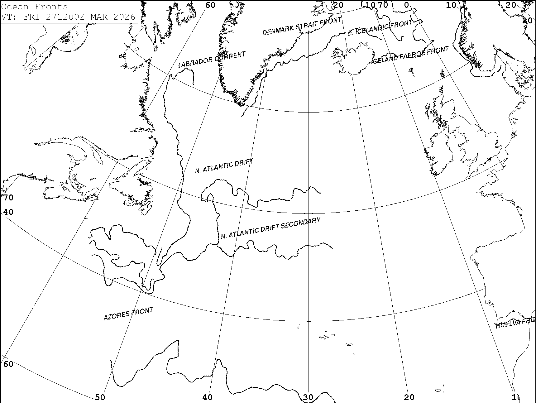
NORTH ATLANTIC |
Other Data |
:Product Available.
:Product Available (out of date).
:No Product Available.
| Latest Charts | all | all | all | all | all | all | all | all | all | all | all | ||
| 0 | 12 | 24 | 36 | 48 | 60 | 72 | 84 | 96 | 108 | 120 | Loop | ||
| all | Surface Charts |
|
|
|
|
|
|
||||||
| all | 10m Winds |
|
|
|
|
|
|
|
|
|
|
|
|
| all | Precipitation & Visibility |
|
|
|
|
|
|
|
|
|
|
|
|
| all | Sea Surface Temperature |
|
|
|
|
|
|
|
|
|
|
|
|
| all | Swell Height and Direction |
|
|
|
|
|
|
|
|
|
|
|
|
| return to top |
|
|||||||||||||||||
| return to top |