Previous

All Products For Area: NORTH ATLANTIC
Time: T+0

Next

Surface Charts

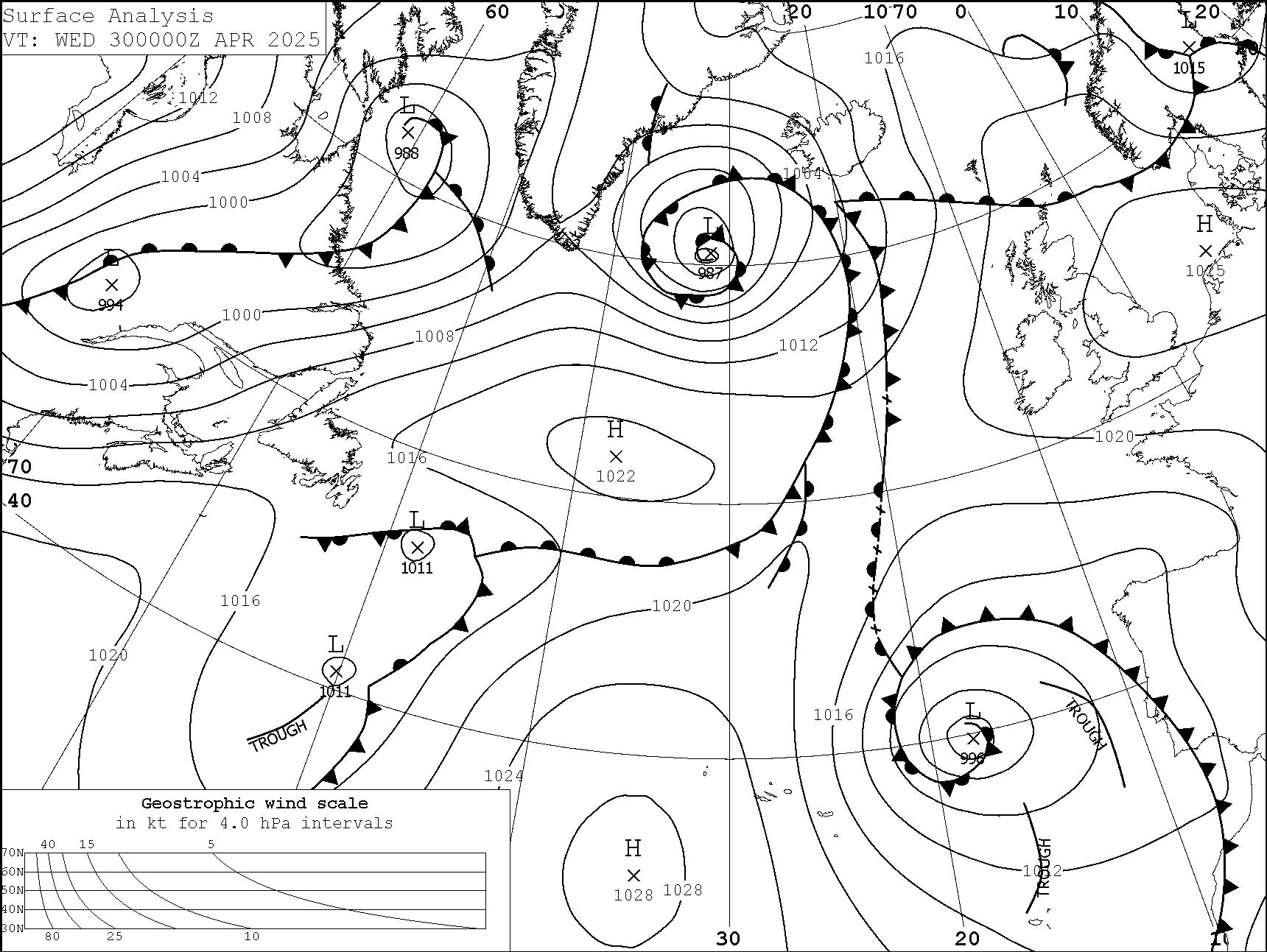
Surface Charts T+000

Area: NORTH ATLANTIC
Subsection: Surface Charts
Display Name: Surface Charts T+000
Zulu: 18Z
Time: T+000
File Size: 58.2kb
Date Populated: 20-08-2025 20:44
File Type: png

return to top

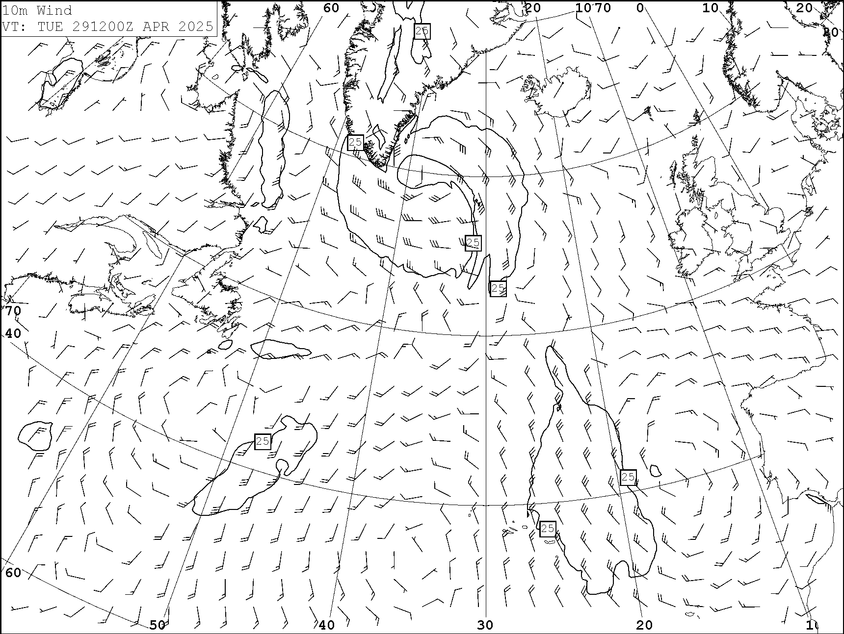
10m Winds

10m Winds T+000

Area: NORTH ATLANTIC
Subsection: 10m Winds
Display Name: 10m Winds T+000
Zulu: 12Z
Time: T+000
File Size: 63.91kb
Date Populated: 20-08-2025 18:06
File Type: png

return to top

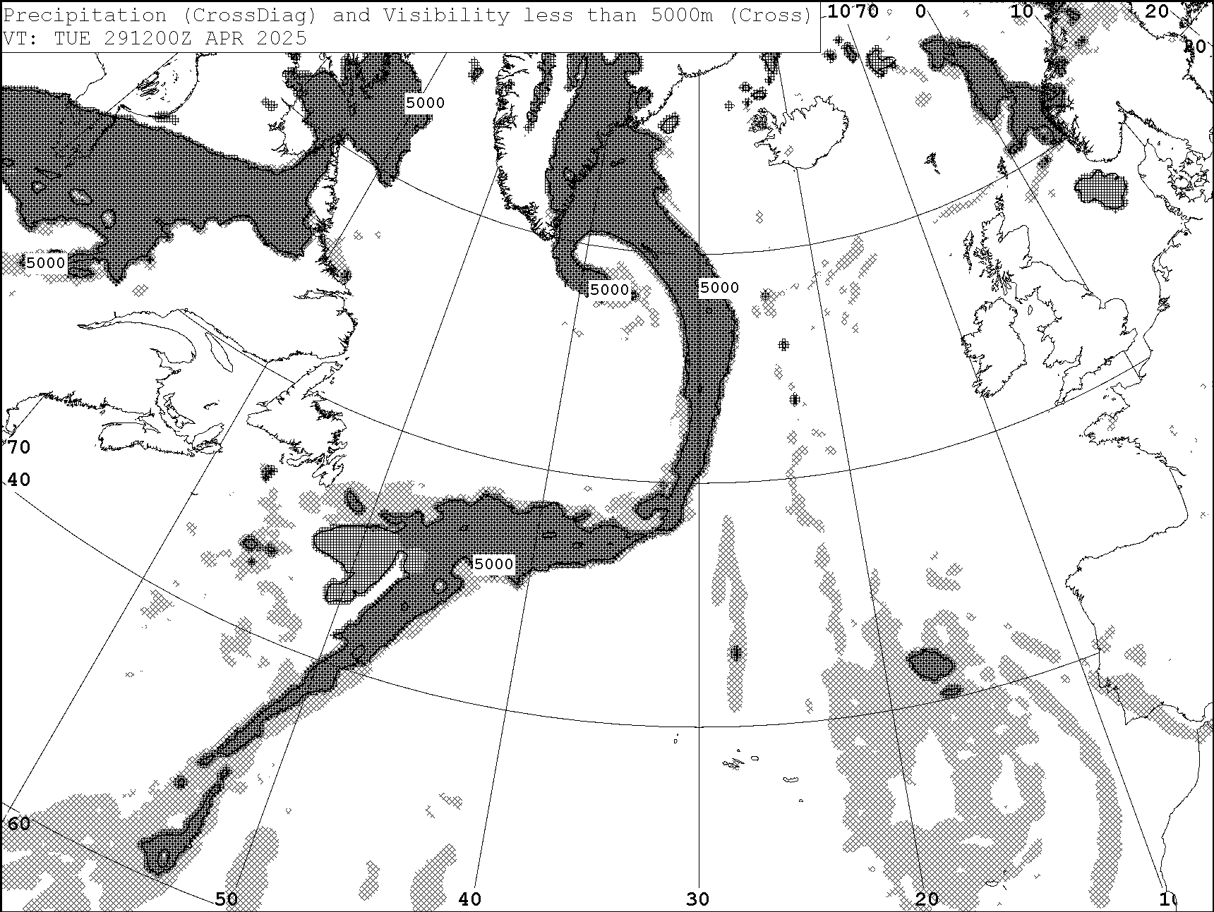
Precipitation & Visibility

Precipitation & Visibility T+000

Area: NORTH ATLANTIC
Subsection: Precipitation & Visibility
Display Name: Precipitation & Visibility T+000
Zulu: 12Z
Time: T+000
File Size: 65.06kb
Date Populated: 20-08-2025 19:17
File Type: png

return to top

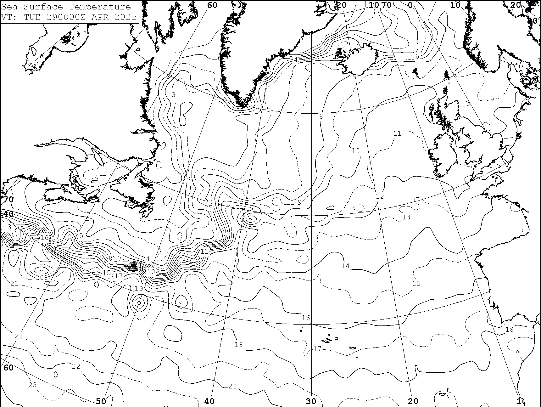
Sea Surface Temperature

Sea Surface Temperature T+000

Area: NORTH ATLANTIC
Subsection: Sea Surface Temperature
Display Name: Sea Surface Temperature T+000
Zulu: 00Z
Time: T+000
File Size: 70.95kb
Date Populated: 20-08-2025 11:23
File Type: png

return to top

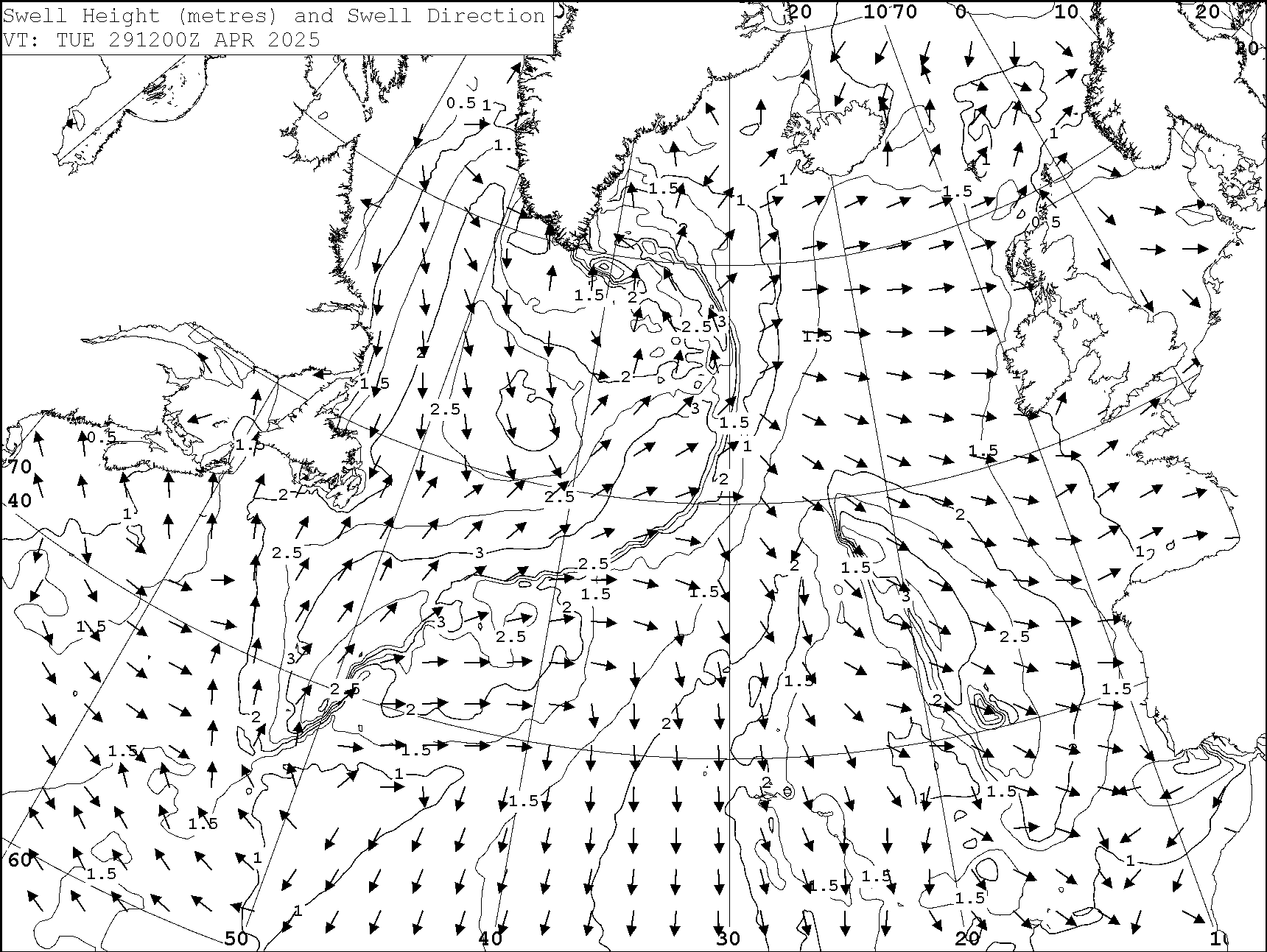
Swell Height and Direction

Swell Height and Direction T+000

Area: NORTH ATLANTIC
Subsection: Swell Height and Direction
Display Name: Swell Height and Direction T+000
Zulu: 12Z
Time: T+000
File Size: 75.15kb
Date Populated: 20-08-2025 18:41
File Type: png

return to top